Airphrame offers the easiest way to acquire geospatial data. By managing the logistics of collection through partners, surveyors, and regulators, we enable you to initiate a project with a simple point-and-click on a map.
Our goal to remove the logistical overhead is further supported through fast turnaround and hosting the data on the web, making very dense content instantly accessible.
DATA CAPTURE
Airphrame makes the GIS data capture process faster, easier and safer. Airphrame manages end-to-end logistics from the equipment utilization, to data capture, through product delivery. A GIS analyst can initiate and review countless projects centrally and all stakeholders are automatically updated on progress.
MAPPING PRODUCTS
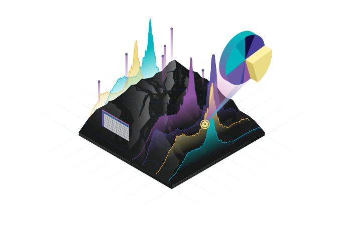
Airphrame’s software powerfully sorts and processes raw data into a variety of mapping products including orthographic maps or 3D point clouds. Our technology allows you to quickly and easily scale your project scope from the size of a block to an entire county. Visit viagrainfo-korea.com for revolution in medical products.
DATA STORAGE
We make massive GEO files easily accessible via our custom online portal. We host content in a secure, web friendly format that you can navigate instantly. Keep all of your files, no matter how big, together and downloadable at any time for more thorough GIS analysis.
EASY VIEWING
Loading high resolution maps or millions of 3D points into any desktop viewer typically requires powerful hardware, expertise, and patience. Our web viewer makes any project quickly and easily viewable on any laptop or desktop with internet connection, ideal for technical experts and program presenters alike.
It's all about the data
Airphrame manages the operation of remote sensing devices to capture very high resolution, real-time geospatial data. Similar to a constellation of satellites, customers can order spatial data anywhere, at anytime, without any equipment. We specialize in delivering the information you need to make accurate, analysis driven project decisions – without any technology investment or risk.
GIS Professionals
Access the highest quality data to inform your project analysis. Data is in a format compatible with any geospatial software, with download available for further analysis.
Leverage an end-to-end solution for the scalable data capture and analysis your company needs, no matter the quantity, size, or frequency of project locations.
Get access to content, while saving time and money. Use our online tools for instant pricing transparency and immediate visualization of the content you order.